Python for Satellite Remote Sensing: Analysis and Visualization for Earth Scientists
Instructors: Drs. Rebekah Esmaili, Amy Huff, Vrinda Desai
Overview
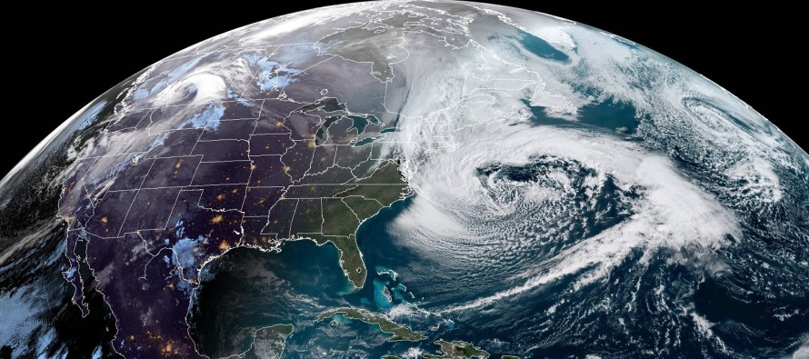
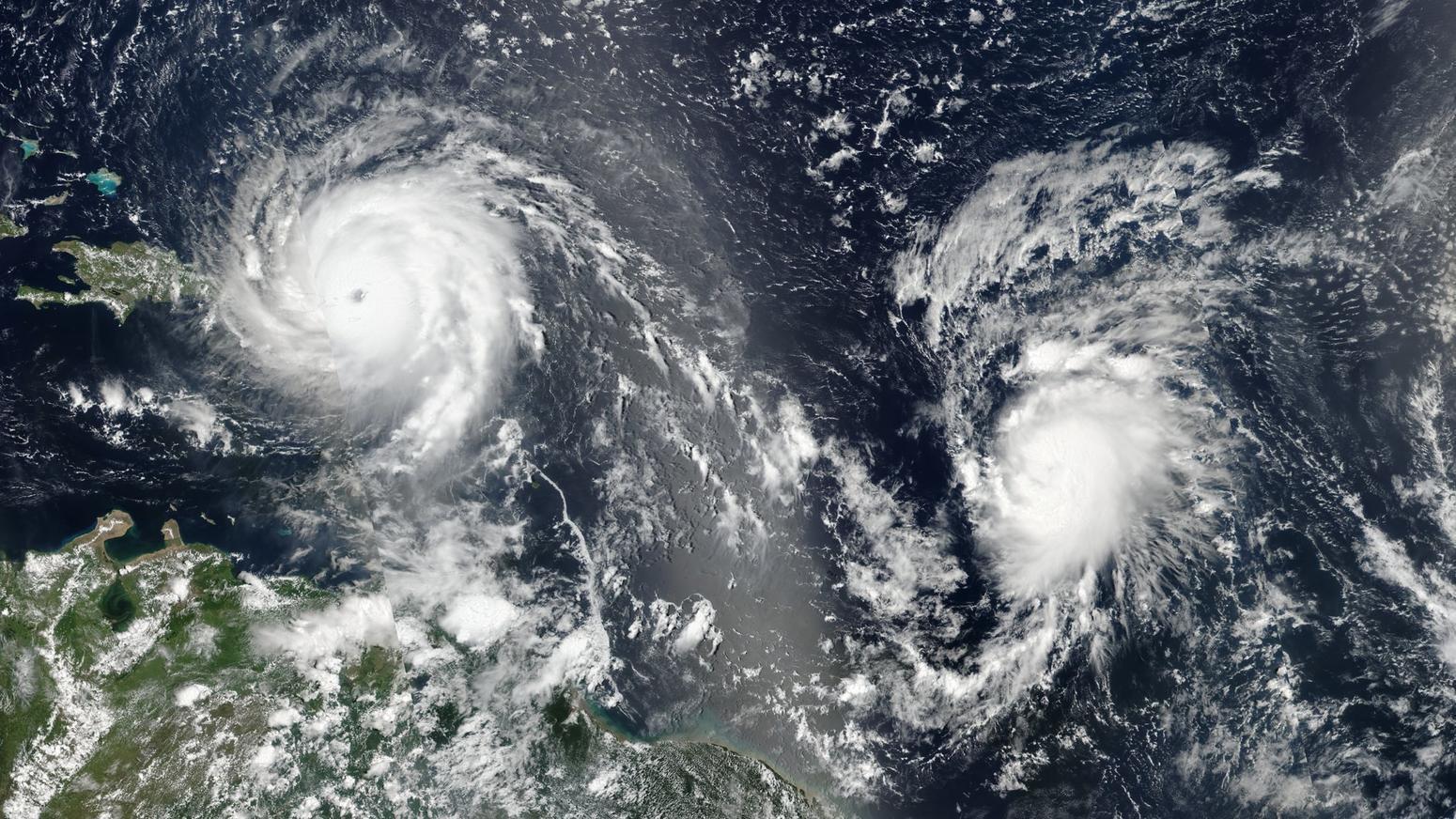
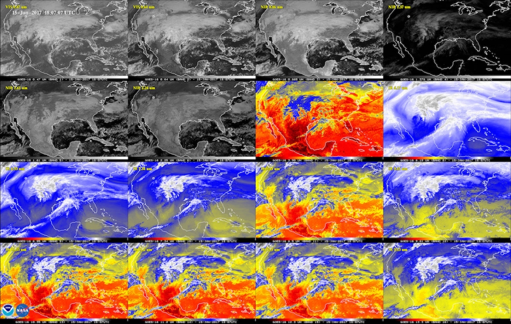
In this workshop, participants will get a crash course on using Python to analyze satellite data. We will cover how to read satellite data formats like NetCDF and HDF, perform basic analysis, and create visualizations of satellite data. This session will be beneficial for both experienced programmers who want to learn Python and those just getting started with scientific programming. Examples will include datasets from the NOAA GOES-R and JPSS programs and other current sensors, but, the presented tools and techniques are transferable to other satellite datasets. No prior Python experience is required, but some coding familiarity is recommended.
Objectives
This course is designed to introduce earth scientists to modern programming tools and techniques to view and analyze data. The primary goal is for attendees to:
- Understand the basic structure of array-oriented satellite datasets
- Practice opening netCDF files and extracting the contents
- Perform basic array manipulation and analysis
- Gain familiarity with basic visualization, plotting, and mapping packages
Agenda
All times in Eastern Standard Time (EST)
| 8:00am | Meet and greet/computing set-up |
|---|---|
| 8:15am | Basic Python and Jupyter Notebooks |
| 9:00am | Understanding and viewing satellite data formats |
| 9:30am | Importing scientific data files |
| 10:00am | Processing and visualizing satellite data |
| 11:30am | Adjourn |
Pre-workshop set-up
Please download and/or install the following before the session begins:
- Complete the Pre-workshop survey
- Follow the steps in the Installation guide
- (Optional) Create a GitHub account
- (Optional) Connect to the workshop GitHub repository
Resources
Feedback
It is our intent to create a learning environment that is respectful. Your suggestions are encouraged and appreciated.